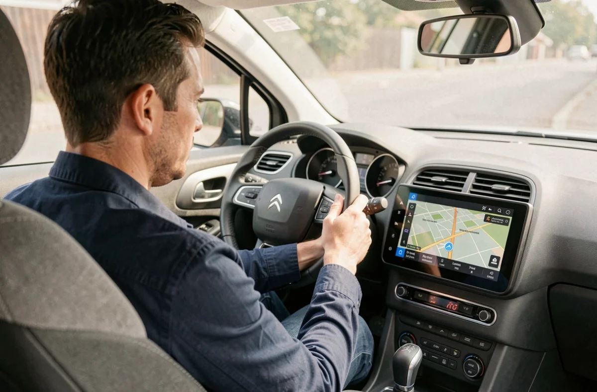
A GPS screen that displays removed roundabouts or non-existent roads is a sign of mapping that hasn’t kept up with changes in the road network. On the Citroën C4, the update procedure depends on the embedded multimedia system, and this is precisely where most errors occur.
Identify the multimedia system before any GPS update for Citroën C4
Have you ever tried to download an update only to find that it didn’t match your vehicle? This problem arises from a common confusion: people look for an update by car model, whereas it is the multimedia system that determines the procedure.
The Citroën C4s do not all come with the same equipment. Depending on the year and trim, there are very different systems: MyWay/Wip Nav, RT6, SMEG, SMEG+ or Connect Nav. Each has its own file format, its own download interface, and its own storage constraints.
To identify your system, the most reliable method is to photograph the GPS home screen and compare it with the visuals provided on the Citroën customer portal. The vehicle’s VIN number can also help clarify any doubts. Before updating the Citroën C4 GPS, this verification avoids downloading an incompatible file that will simply be rejected by the system, or worse, that could cause a blockage during installation.
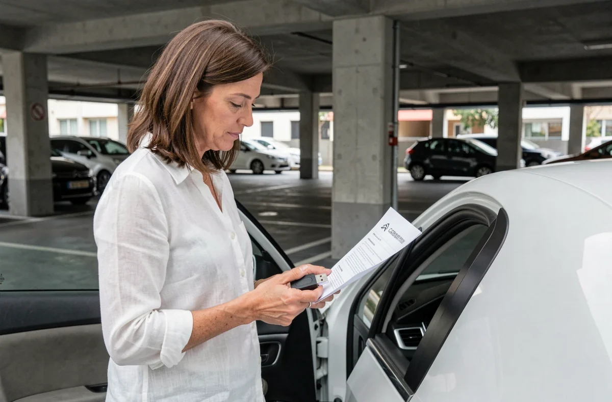
USB key and formatting: the source of most failures
If the update fails, the USB key is almost always to blame. The multimedia system of the C4 requires a specific file format, and a poorly prepared key will block the installation without an explicit error message.
Prepare the key in the correct format
The key must be formatted in FAT32, which is the file system recognized by Citroën’s embedded browsers. On a Windows computer, a right-click on the USB drive followed by “Format” is sufficient, provided you select FAT32 and not NTFS or exFAT.
On Mac, the Disk Utility allows the same operation by choosing the “Master Boot Record (MBR)” scheme with the MS-DOS (FAT) format. A detail that escapes many Mac users: the default format offered is not the correct one.
Capacity and content of the key
Some mapping files are large. Use a key with sufficient capacity for the complete download, and above all, completely empty it before copying the files. The navigation system may interpret leftover files as corrupted data and interrupt the installation.
- Always format the key in FAT32, even if it seems to already be in this format, to eliminate residual fragments.
- Do not rename folders or files after downloading: the folder structure must remain intact.
- Avoid very large USB 3.0 keys, which are not always recognized by older systems like the SMEG or RT6.
Installation process on the embedded system
Once the key is ready, the installation is done directly from the vehicle. The engine must run throughout the process. An accidental stop of the ignition during data writing can corrupt the navigation system, and in this case, only a workshop visit can restore it.
Start the mapping update
Insert the USB key into the designated port (usually in the glove compartment or central console). The system automatically detects the update file and offers to install it. Do not touch any other menu during the transfer.
The duration varies depending on the volume of data. For a complete mapping update covering Europe, the transfer can take several tens of minutes. During this time, do not turn off the ignition and do not remove the key.
Distinguish between outdated map and hardware failure
If after the update the GPS continues to lose signal or mislocate the vehicle, the problem is probably not software-related. A loss of GPS position can come from the antenna, which may be poorly connected or damaged, or from a degraded reception environment (tunnels, tall buildings, metallic glazing).
Before restarting an installation or suspecting a defective file, test the reception in an open space. If the signal remains absent, a hardware diagnosis is necessary, not a new update.
Connected navigation and alternatives on recent C4s
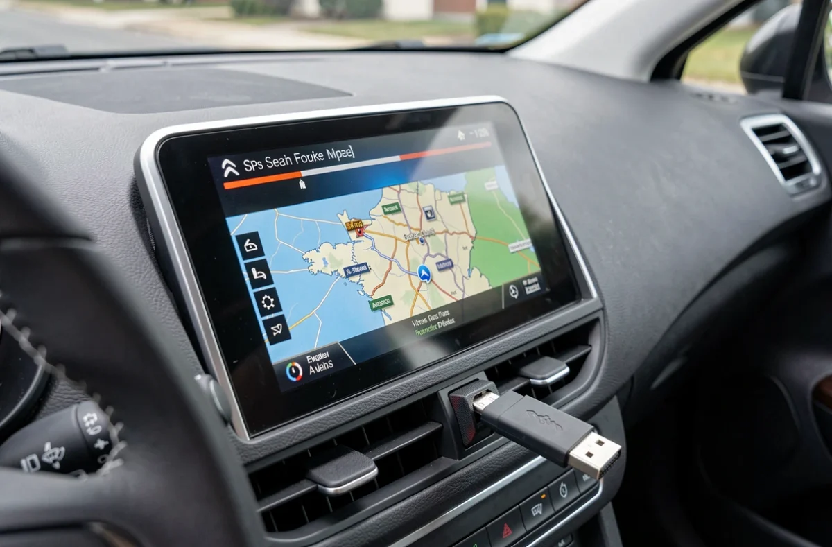
The most recent Citroën C4s change the game. With the Connected Navigation Pack, the mapping relies on an integrated 3D TomTom navigation system, combined with natural language voice recognition and connected services. The update no longer necessarily requires a USB key: it can be done via the vehicle’s embedded connection.
For models that allow it, Apple CarPlay and Android Auto offer a concrete alternative when the original mapping has become too outdated. Rather than investing in a proprietary update for a system that is no longer supported, the smartphone navigation displayed on the central screen may suffice for daily use.
- Check if your C4 is compatible with CarPlay or Android Auto before purchasing an expensive mapping update.
- On recent connected systems, mapping updates may be included for a period after the vehicle purchase.
- The end of official support for an old multimedia system does not mean that the GPS stops working: the map remains usable but frozen at its last version.
The choice between embedded update and smartphone navigation depends on the age of the system. On a SMEG or RT6, USB update remains the only option. On a recent C4 equipped with connected services, the question deserves to be asked before starting the manual procedure.